This test is pretty easy. I’ve had the GPS on since buying the camera, so my images should be able to plot in Goggle Maps with exactly zero effort.
So let’s test a few, shall we?
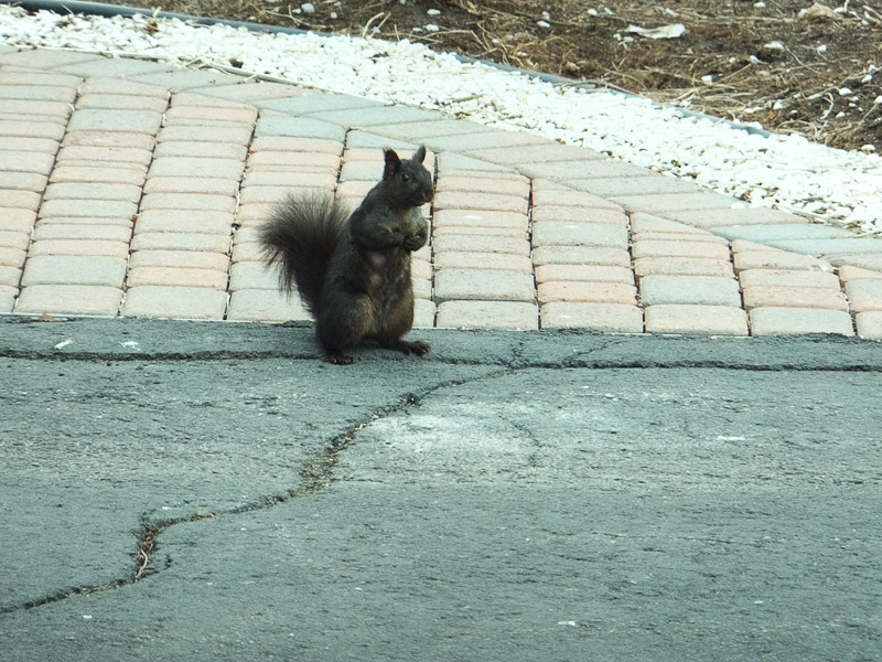
This image was shot standing in my driveway with the pesky tree rat standing 25 feet away on my neighbor’s driveway. :-)
We start by asking for the image to be plotted on a map by GPS coordinates. In IE9 this is as trivial as:

Oops … no coordinates on this image.

How about the tree shots I made yesterday to test the corners?

Success!

The resolution is to within 8 feet of where I was standing. Decent I would say.
Now how about the shots of the bell tower?
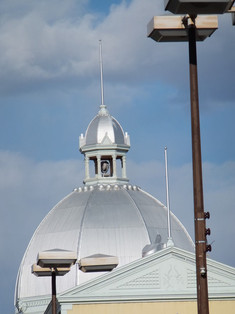
Again, it cannot be located. In fact, I searched and searched and cannot find one from the show that shows GPS anywhere but my home. So the GPS was working indoors at the show, but it only shows my house as the coordinates, being unable to sync locally through the ceiling of the building.
I think GPS merits another test when I get a chance. I will see what it takes to ensure that actual coordinates are getting into the images. The branch images were shot at my home when I got back from the show, and they are dead accurate. I stood there once I got out of the car with the camera switched on for a few minutes, whereas at the show I was walking around with the camera off and only switching it on to shoot. I suspect that I never quite reached the threshold of time for the GPS to find the satellites.
So call this test result mixed.
No comments:
Post a Comment